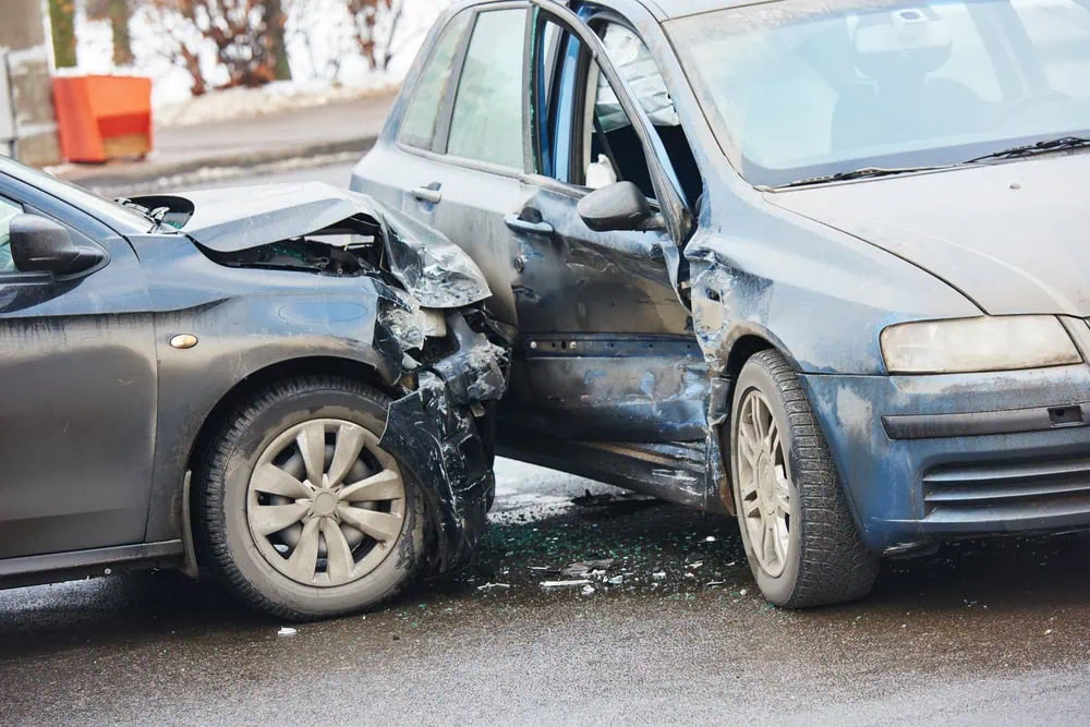
Clifornia’s vast layout and deeply ingrained car culture make its roadways some of the most heavily trafficked in the world.
From the fog-shrouded valleys of the north to the sun-bleached desert stretches of the south, the Golden State features a highly diverse terrain that poses unique challenges to motorists.
While millions of drivers safely navigate the state’s sprawling highway grid every single day, traversing its most infamous corridors might require you to have a roadside assistance plan.
When analyzing data from the National Highway Traffic Safety Administration (NHTSA), transportation experts look closely at both raw fatality numbers and fatal crash density (accidents per mile). Through this lens, a few California roads consistently rank among the most dangerous in the entire nation.
Here is an in-depth breakdown of California’s most treacherous roadways and the specific factors that make them so volatile.
1. State Route 99 (SR-99): The Deadliest Per Mile
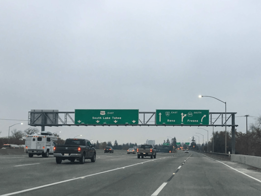
Though it lacks the international fame of the Pacific Coast Highway, State Route 99, which slices 424 miles vertically through the Central Valley, has historically held the title of the deadliest road in America per 100 miles.
- The Valley Darkness: A primary hazard of SR-99 is its lack of consistent overhead lighting. It has been rated as one of the darkest major highways in the country, contributing heavily to nighttime visibility issues.
- Tule Fog: During late autumn and winter, the Central Valley experiences rapid, blinding “tule fog” that can reduce visibility to less than 10 feet in seconds, frequently causing massive multi-car pileups.
- The Hotspots: The segments running through Fresno and Kern County (Bakersfield) see an exceptionally high concentration of speed-related and alcohol-related fatal accidents.
2. Interstate 15 (I-15): The Desert Speed Trap
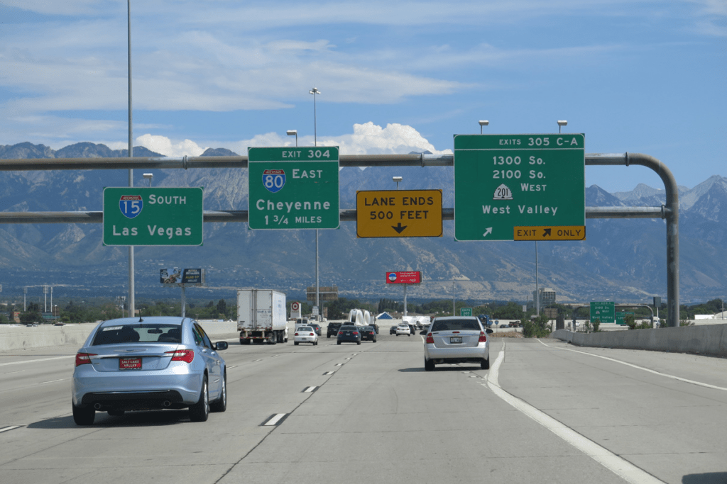
Interstate 15 connects the dense San Diego and Los Angeles metros to the Nevada border, serving as the main terrestrial artery to Las Vegas. The stretch running through San Bernardino County (particularly near Hesperia, between exits 138 and 129) routinely ranks as California’s single deadliest individual stretch of asphalt.
- The Open-Road Temptation: As the highway drops into the Mojave Desert, wide lanes and straight trajectories tempt drivers to travel at excessive speeds. Speeding factors into nearly half of the fatalities recorded on this corridor.
- The “Weekend Warrior” Effect: Traffic volumes surge dramatically on Friday afternoons heading northeast and Sunday evenings heading southwest. Drivers are often fatigued, distracted, or rushing, mixing dangerously with heavy commercial shipping trucks.
3. Interstate 5 (I-5): The High-Volume Freight Backbone
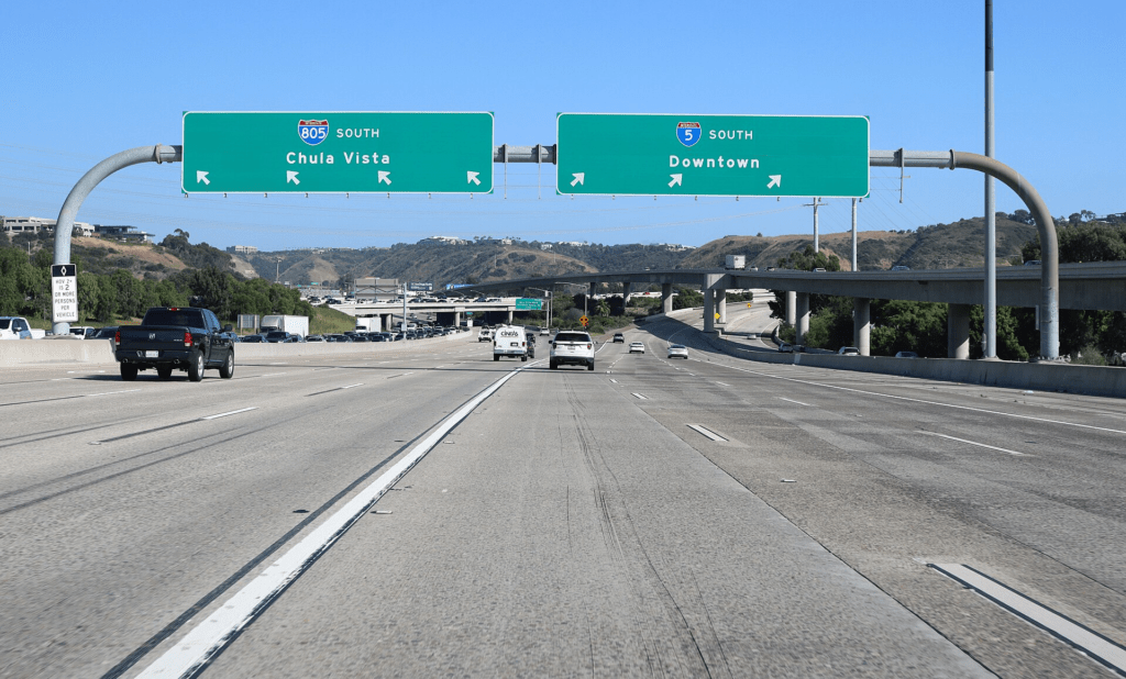
Running the entire length of the state from Mexico to Canada, “The 5” is the literal backbone of California transit. Because of its massive footprint, it logs the highest total number of raw crash fatalities in the state annually.
- The San Diego Merge: The Southern California segments, specifically where I-5 merges with I-805 in San Diego County, are notorious for high-speed lane weaving, erratic tourist behavior, and severe gridlock.
- The Central Valley “Zone Out”: Between Los Angeles and Sacramento, I-5 becomes a monotonous, dual-lane expanse. Driver fatigue and “highway hypnosis” cause an alarming number of vehicles to drift off the roadway or rear-end slow-moving commercial trucks.
Statistical Overview: High-Risk California Corridors
Multi-year highway safety data highlights how geography and specific driver behaviors shift the nature of risk across the state’s primary counties.
| Highway Corridor | Highest-Risk County Segments | Primary Behavioral Triggers |
| I-15 | San Bernardino (Hesperia / Victorville) | Excessive speeding, distracted driving, weekend fatigue |
| I-10 | Riverside & Los Angeles | Heavy freight traffic, high-density urban lane merging |
| I-5 | San Diego, Los Angeles, Orange County | Extreme traffic volume, severe speed differentials |
| US-101 | Santa Clara & Santa Barbara | High rates of driving under the influence (DUI) |
| I-880 | Alameda (East Bay / Oakland) | Tight urban merges, sudden stop-and-go patterns |
4. State Route 138 (SR-138): “The California Death Way”
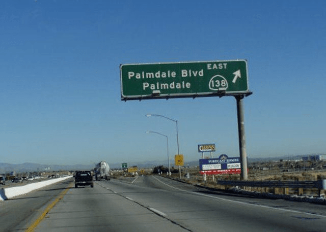
For decades, the stretch of SR-138 running between Interstate 5 and State Road 18 in San Bernardino County was colloquially dubbed “Bloody Alley.”
Winding through steep mountainous terrain and high-desert foothills, the road was originally constructed as a narrow, undivided two-lane highway. The combination of steep drop-offs, sharp blind curves, and aggressive drivers attempting to pass slow-moving vehicles created a recipe for catastrophic head-on collisions.
While recent multi-million dollar Caltrans widening projects have significantly lowered the accident rate, its geographical layout still demands intense driver focus.
5. State Route 1 (Pacific Coast Highway): Beautiful but Deceptive
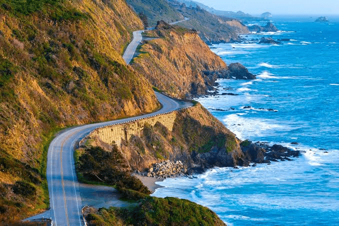
The Pacific Coast Highway (PCH) is globally renowned for its breathtaking ocean vistas, but those exact views present a major safety hazard.
- Visual Distractions: Drivers frequently take their eyes off the road to look at the coastline or make sudden, un-signaled stops to pull into scenic turnouts.
- Geological Instability: The terrain is highly volatile. Stretches along Big Sur and Malibu are prone to sudden rockfalls, mudslides, and lane washouts, turning a casual cruise into a technical, high-stakes driving maneuver.
The Infrastructure Challenge: Many of California’s highways face an “infrastructure lag.” Roads designed in the 1960s for a fraction of the population are now forced to handle millions of vehicle miles traveled daily, resulting in compressed merge lanes and bottleneck zones that leave very little room for driver error.
Drive with Confidence on California Roads Because We Got Your Back
California’s highways are among the busiest in the nation, with congested freeways, winding mountain roads, coastal routes, and heavy commuter traffic creating challenging driving conditions every day.
If a breakdown or roadside emergency interrupts your trip, DriveSafe Solutions is ready to help with affordable roadside assistance, emergency towing, mobile mechanic services, tire repair services, wrecker services, and winch-out services available 24/7 across California and throughout the United States.
Don’t let an unexpected vehicle problem leave you stranded. Save our toll-free number, +1 (866) 890-7355, before your next journey and enjoy peace of mind knowing expert roadside assistance is only one call away.
Flat tires, dead batteries, lockouts, or accident recovery, don’t panic. DriveSafe Solutions delivers fast, dependable service to get you back on the road safely and quickly.